Unlock with Our Drone Mapping and 3D Modeling
Lux Consulting Group delivers high-resolution drone mapping and 3D modeling services, providing accurate and versatile solutions for construction, land surveying, agriculture, and infrastructure inspection. Our technology ensures cost-effective and time-saving data collection, enhancing decision-making and project planning.
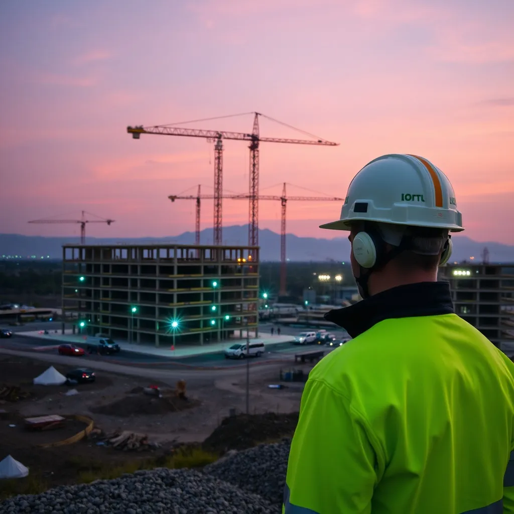
- Construction Site Monitoring: Track progress and manage resources effectively.
- Land Mapping: Obtain precise topographic data for informed decisions.
- Agricultural Analysis: Monitor crop health and optimize yields.
- Infrastructure Inspection: Identify potential issues and ensure safety.