Precision & Care
Eco-Friendly Pest Control
Our Offerings
Explore Our Services
Advanced Drone Services for Precision Agriculture and Plant Healthcare
Discover how our advanced drone LiDAR and multi-spectral imaging technology can revolutionize your mapping and agricultural analysis. By combining precise aerial insights with detailed ground-level data, our integrated approach ensures accurate, efficient, and environmentally responsible farm management.
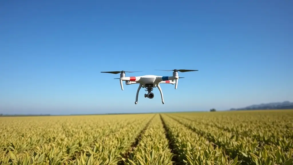
Precision LiDAR and Multi-Spectral Imaging
Utilizing advanced drone technology equipped with precision LiDAR and multi-spectral imaging, we accurately assess plant health and crop conditions. Our drones identify areas of stress, disease, or pest infestation, allowing proactive and targeted interventions. Integrated machine learning models analyze this comprehensive data to provide precise insights tailored specifically to your farm.
- High-Resolution Imaging
- Accurate Mapping
- AI-Driven Analysis

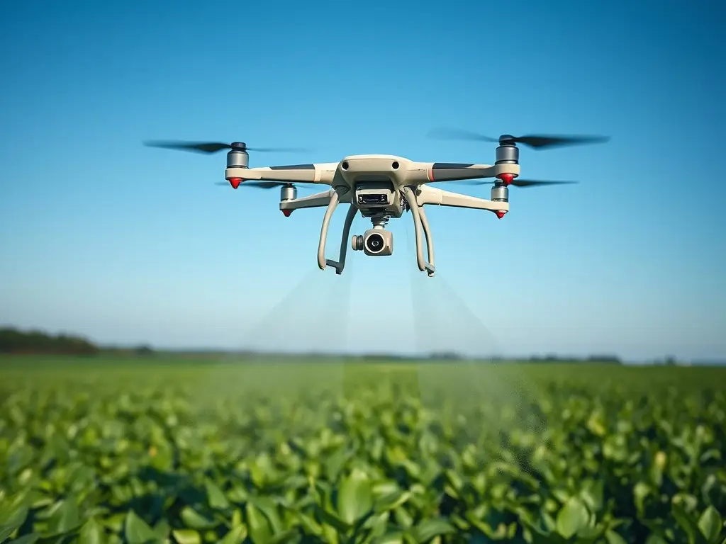
Precision Application
Precision Application of Agricultural Products
Leveraging insights from our advanced data models, we deploy drones to precisely apply fertilizers, pesticides, fungicides, and other agricultural products exactly where needed, reducing waste and maximizing effectiveness. This targeted approach ensures optimal crop health, lower environmental impact, and improved overall yields.
Our integrated drone service combines cutting-edge technology and expert analysis to deliver unmatched precision and effectiveness in plant healthcare and farm management.
- Targeted Treatments
- Reduced Chemical Use
- Enhanced Crop Health
Customized Soil Sampling and Data Modeling
Complementing our aerial analytics, we conduct detailed soil sampling to enrich our understanding of your farm’s unique soil characteristics. This soil data is integrated into our sophisticated computational models, resulting in a highly personalized farm management strategy that optimizes productivity, efficiency, and sustainability.
- Comprehensive Analysis
- Improved Yield
- Data-Driven Decisions
